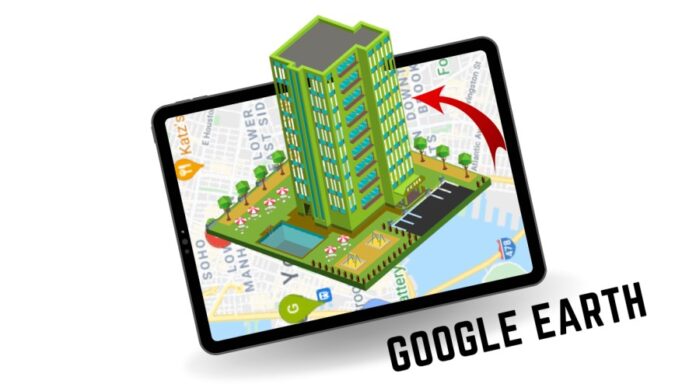
Are you ready to travel the whole world in 360 degrees and zoom in every building to watch their 3D perspective? Are you curious how they would look when we view them from up above in 3D?
Google Earth is an application built by Google which provides our earth geographical data in every angle possible. You can view any place at varying resolutions in a very interactive visual format.
Definitely I can sense the excitement you have to know more about this application. Don’t worry I will describe everything about the Google Earth app.
Stay connected to get the detailed review of this interesting application:-
Google Earth App
It is very hard for us as humans to tell the exact area and dimensions of any place. We can only estimate its rough estimated value and use it when needed. However there is an application named Google Earth which provides the exact dimensions and distance of any location with a 3D view.
Google Earth is the best application to view the whole world in a 3D perspective. It provides the satellite image of the globe. Visiting our favourite places in a 3D perspective just blows our mind. We can see and understand every inch of it.
Let’s now quickly check how you can use this application:-
How to use Google Earth
Step 1 Go to Google Play store and search for the app Google Earth.
Step 2 Click on Install.
Step 3 After opening you will get a user interface which will tell you the exciting features of this application. Apply the next option multiple times to skip those pages.
Step 4 You will get multiple options on the upper side of the screen. You can use it to search different locations and the measurements.
Step 5 On the top most column you will get options of search, voyager, measurement etc. By using these you can get the accurate measurement of distance to your familiar places.
Step 6 There are some extra features on the right most column downwards. Using these features you can highlight a place and view any location in three dimensions.
How to take the measurement of two distinct places using Google Earth.
Step 1 Open the Google Earth application.
Step 2 Click on the search menu and type the location from which you want to start the measurement.
Step 3 Zoom out the exact location in the map.
Step 4 Click on the measurement icon.
Step 5 You will get a point which you have to set on the exact location from which you want to start the measurement. From here add points whenever you have to change the direction.
Step 6 Continuously add points until you reach the destination place. Now you can check the distance from here. Different parameters are available to measure the distance such as metre, centimetre, inch, kilometre etc.
You can set and view the distance in any suitable parameter by selecting it on Google Earth.
The six simple steps will help you to measure any distance from two different locations. By following these steps you can analyze any location of your interest.
Conclusion
Using Google Earth you can measure distance, height, width and area of different 3D buildings placed on our globe. It is one of the most useful and advanced tech apps that only Google can provide us.
It also provides the accurate image of the place that you have searched for. It’s kind of addictive sometimes when you use this app.
I really enjoyed using this app and I will also recommend using it for once to know the advanced features it offers.
